The discovery of a high-grade gold deposit in a previously unexplored region is igniting strong reactions across the mining world. Experts agree that this type of find is rare, not only because of its grade but also because of the possibilities it opens for the future. In a context where global resources are under pressure, the news sparks curiosity and questions about what might emerge from this remote area, far from the eyes of everyday industry players.
Geology and setting around Maria Geralda
Maria Geralda sits on a northwest-striking fault where tonalite dykes meet metavolcanic rocks. That contrast hardens boundaries, so the rock breaks in a brittle way and opens veins. Quartz later filled those cracks with gold-bearing fluids. The rock now shows stacked veins and patches of breccia that point to repeated pulses.
The wider Antino Yaou Benzdorp belt formed as ancient plates collided. Those Paleoproterozoic forces welded the West African Craton to the Amazonian plate, and the strain folded layers. Late brittle overprints then added open space, so fluids moved and left gold behind where paths tightened around harder intrusions.
The district, as structural geologist Vincent Combes notes, is rare because intrusion-hosted and shear-hosted systems meet inside one greenstone belt. The Guiana Shield, a 1.7-billion-year-old craton spanning Suriname and neighbors, holds famous orogenic camps. That context supports scale, while local mapping explains why this corner lights up.
Why this gold deposit changes the engineering equation
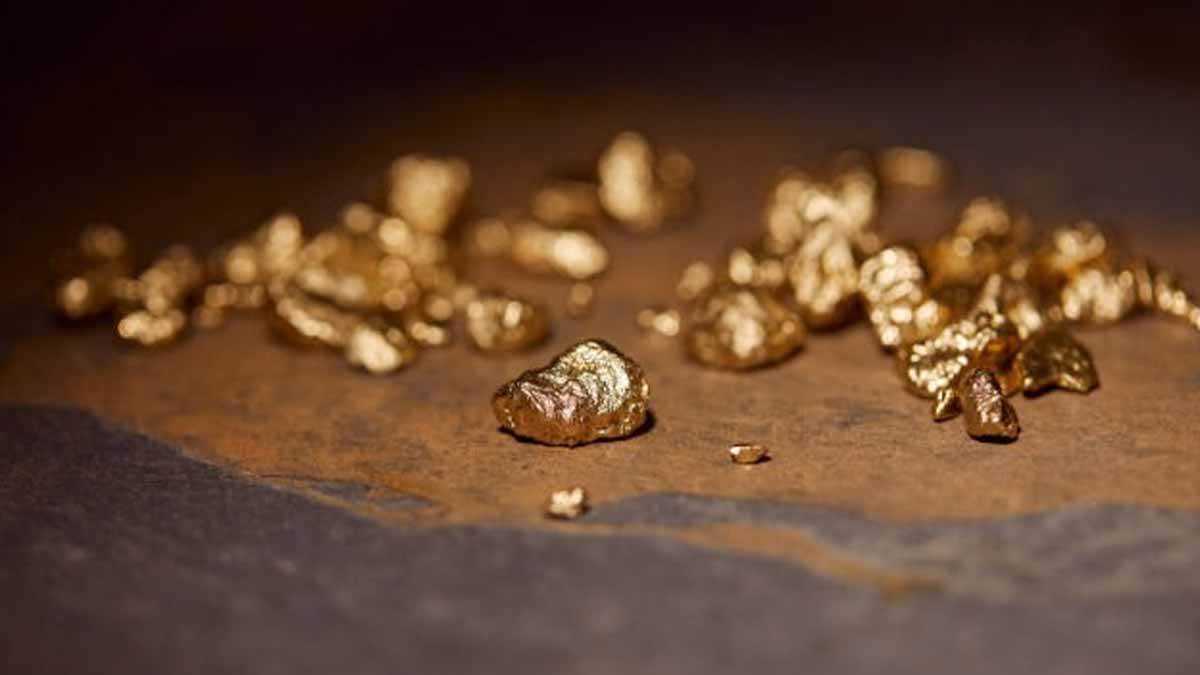
Explorers talk in grams per ton. High grade starts above 10 g/t, medium sits between 1 and 10, and low falls below 1. The 11.88 g/t interval clears the high-grade bar, and the 22.5 meters matter because width cuts cost. Fewer trucks move the same gold, and less waste needs reclaiming.
Most early Antino hits were narrow shoots. Stretching similar grade across 73 feet can lower dilution, so mills push fewer tons for the same output. The higher grade also lets a future pit go deeper before strip ratios end the case. Long runs of lower grade beneath the main shoot hint stacked lenses.
Those lenses, if they connect, could form a bulk-mineable shell that wraps selective underground targets. Mid-tier producers watch for exactly that, because pipeline assets need both scale and optionality. In that sense, the rock answers one part, while pads, holes, and time test the rest. Here, the term gold deposit fits the scale.
Structural clues, veins, and grade distribution
Maria Geralda sits where stresses rotated around rigid intrusions, so fractures converged and veins swarmed. The new hole confirms free gold and pyrrhotite in those veins. Pyrrhotite explains the subtle magnetic highs mapped during last season’s ground survey, and those gentle highs help crews follow trends between pads.
Tonalite contacts localize breaks, so fluids focused along clean planes. That repeat action stacked veins and breccias across the zone. The pattern supports continuity, while short gaps still need drilling. Models show several preferred directions, and the northwest strike dominates, so crews plan azimuths that cross structures at strong angles.
Grade patterns fit the story. The headline width hosts robust grade, and lower material sits below. That geometry suits open-pit starts that later chase underground shoots. Because the system shows both shear and intrusion traits, it could repeat along strike. The prize lies in repeatable thickness and grade across several miles.
Timelines, budgets, and the gold deposit in context
“The 22.5 meters interval grading 11.88 g/t gold represents some of the highest-grade mineralization we’ve encountered to date,” said President and CEO Colin Padget. Step-out holes now rank first through the wet season, because continuity beats one bright run. Pads are cut 160 feet (48.8 meters) north and south of the collar.
Downhole electromagnetics will guide azimuths, while visible-gold intervals go through metallic screen assays to reduce nugget effects. Samples move by helicopter to FILAB Suriname in Paramaribo for fire assay and gravimetric checks. If widths and grades repeat over the next quarter, the team will fly airborne LiDAR to sharpen its structural model.
Management budgeted 60 kilometers (37 miles) of drilling for 2025. The plan then adds a second diamond rig after wintering, so meters build without rush. The goal reads simple : prove repeatable thickness and grade along long strike. That work, done with discipline, turns a headline into a working gold deposit story.
Suriname’s stakes, responsibilities, and project pathway
Mining and oil already make up about 60% of Suriname’s GDP and nearly 90% of exports. New gold can bring jobs, royalties, and roads for remote districts. Large mines like Rosebel and Merian have broadened the tax base and helped schools, while the rain-forest setting raises costs and scrutiny that shape each decision.
Annual rainfall can top 160 inches (4,064 millimeters), so roads, power, and camps must handle long wet months. The state refines rules that balance growth with biodiversity and Indigenous land rights, after hard lessons from decades of informal placer along the Marowijne Greenstone Belt. Clear standards help companies and communities plan.
Investors know one intercept does not make a mine. Tight drill spacing, metallurgical tests, and studies on haul roads, power supply, and rainfall management belong in the plan. Community leaders from Tapanahony and Lawa want early, open talks on land access. Trust grows when people see maps, timelines, and honest trade-offs.