A camera in low orbit now claims to read facial detail from hundreds of kilometers away, and that shift changes everything. China’s Aerospace Information Research Institute ties advanced recognition to an orbital satellite platform, so images arrive fast and sharp. The promise sounds impressive, while the stakes feel plain: new capability, new power, new rules. What follows explains the system, its limits, and why privacy debates will intensify.
How China’s Orbital System Is Built
China’s program brings optics, sensors, and machine learning into one pipeline. The Beijing-3 system flies in low-Earth orbit, so its path shortens light travel and reduces blur. Engineers pair large-aperture lenses with stabilized mounts, and they tune exposure because targets move while the craft races overhead. Facial recognition then matches patterns, as the model parses eyes, mouth, and bone lines. The institute credits advanced algorithms that reduce noise and sharpen edges. Teams also compress data without losing key features, so ground stations get usable frames in near real time. The claim is simple yet bold: capture, process, and classify before targets change position. That design aims at both speed and detail, which drives surveillance value and fuels obvious concerns for civil rights.
How Orbital Face Recognition Works In Practice
In operation, sensors sweep a scene and segment it into small tiles. Each tile feeds a recognition model, while the system flags motion and shadow so results stay stable. China cites a synthetic aperture lidar approach that seeks millimeter-level detail near 100 kilometers, so edge contrast stays high. Data then flows to a control center, and analysts verify matches. The pipeline runs continuously while the craft passes, so frames build a track over time. Engineers also talk about cross-checking with ground cameras, since fusing sources often raises confidence. The orbit helps with wide coverage, and the short revisit rate keeps updates fresh as conditions change. The result is a workflow that searches at scale, while it focuses on a face when a watch list triggers.
Unprecedented Imaging Power Of The satellite
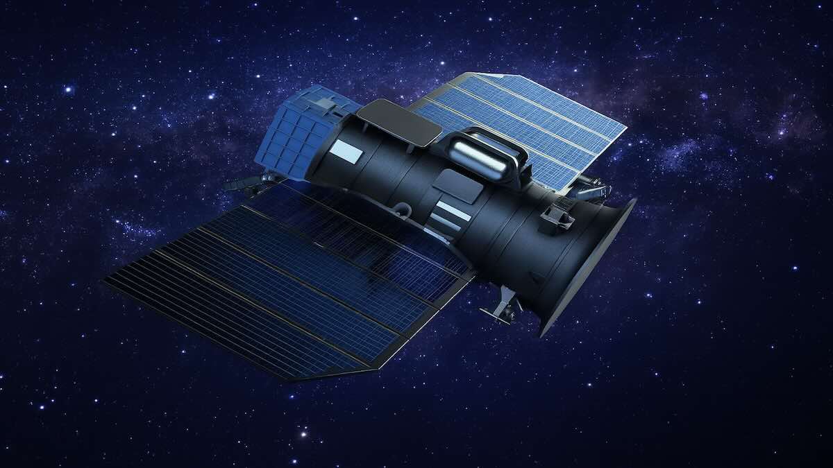
Resolution drives the biggest claim. Chinese sources say images reach about 1.7 millimeters at 101.8 kilometers, and that breaks the old sub-meter barrier long tied to space systems. The same platform also advertises real-time monitoring, so operators can follow a person or a vehicle during a pass. Designers point to new sensors, faster chips, and better math as the reasons. The satellite stabilizes motion and corrects for air effects, so edges stay sharp in usable light. Beijing-3’s low-Earth orbit helps, since shorter range often means cleaner frames. When detail and timing improve together, surveillance shifts from “take a picture” to “watch a moment.” That shift gives military units more options, while civil uses—environment checks, disaster sites, traffic heat maps—may grow as well.
How It Compares With U.S. And Russian Programs
For decades, America’s Keyhole line set the high bar for orbital imaging. It served intelligence teams with sharp pictures and stable tasking. China’s leap now challenges that lead, because claimed detail and speed push past the old standard. The project also reflects big research budgets and a steady build of space hardware. Russia fields capable craft, yet its upgrades move in smaller steps. If China’s numbers hold, the satellite edge tilts toward Beijing in certain tasks. The move matters for alliances, since partners weigh who can share the best scene at the right time. It also matters for norms, because rivals may copy methods to keep pace. That race often compresses rollout cycles, and new tools reach operators sooner than policy can adapt.
Privacy, Law, And The satellite Surveillance Era
A face from space raises blunt questions. People expect public streets to have cameras, yet an orbital watcher adds reach, scale, and persistence. Laws in many countries protect identity data, while rules for orbital images remain thin. Civil groups warn about mass tracking that chills speech and movement. Security officials answer that strong tools deter threats and help during crises. Both points can be true, so design choices matter: strict access logs, short retention, and bias tests lower risk. International bodies may also issue guidance so states respect borders and rights. China’s program will likely grow with better sensors and faster models, while other nations respond in kind. The policy task is urgent, because once networks scale, the social cost rises fast.
What This Signals For Space, Security, And Daily Life
China’s research shows how fast orbital imaging is changing, and the change will shape power and norms. The project links facial recognition to a satellite path that scans wide areas, so impact extends past any single mission. Numbers in the claims may face debate, yet the direction is clear: sharper pictures, quicker delivery, and broader use. That mix helps defense planners and rescue teams, while it presses lawmakers to act. People should expect new rules for identity data, cross-border sharing, and audit rights. The next step is open oversight that matches the pace of the labs and launch pads.